Though it seems like it's been an eternity, it looks like this February cold snap that has plagued the river city could be here to stay.
According to Environment Canada meteorologist Bobby Sekhon, we could see below average temperatures until March.
"The average temperatures this time of year for Kamloops are a high of +4 and a low of -4 so we are looking to remain under that for the next week at least, if not into the remainder of the month," said Sekhon.
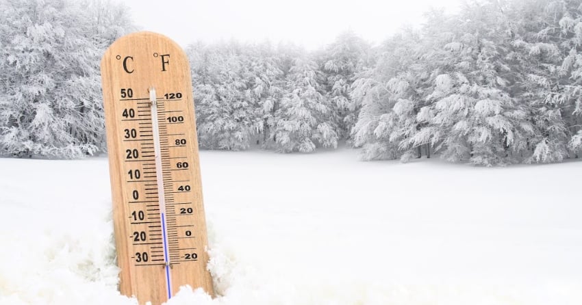
Sekhon adds that though it isn't as cold as it was weeks ago, the cold air is from an arctic air mass that refuses to go away.
"Now it's not as cold as say like last week where we were seeing quite a bit lower temperatures than now, so the arctic air has retreated a little bit as we are getting some more systems pushing on the south coast."
Sekhon mentioned that after January was the eighth driest in Kamloops history, February has already seen the same amount of snowfall with 6.2 cm.
"The story more for Kamloops was in January it was the eighth driest January on record... February on average doesn't get much snow and we're hanging around within the average."
Sekhon went on to say with snow in the forecast tonight, Kamloops could see February's snowfall total above 10 cm, which would be higher than average.
"We do have a snow forecast for the next 24 hours here so we will probably get up to 10 centimetres. That could start to push us above average for February but we will see."


