Well the province is not out of the storm yet, quite literally, while the Lower Mainland is seeing a quick 24 hour break from the heavy rain; another atmospheric river event is predicted to hit the coast on Wednesday.
Over the weekend a second storm occurred on Saturday, which impacted many regions along the coast and was deemed as ‘impactful by delivering a fair amount of rain’ by meteorologists.
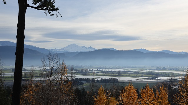
Rainfall exacerbated river levels along southern British Columbia as flooding and other challenges were reported in the Fraser Valley. Abbotsford saw close to 104 mm of rain, Agassiz saw 100 mm and Hope saw 127 mm.
The atmospheric river event that Environment Canada is currently tracking is anticipated to hit December 1, and is coming in from the subtropical origins near the Philippines. It has been traveling close to 8,000 to 9,000 kilometers over the last few days.
“It will deliver a relatively strong punch, similar to what we saw this weekend. So we are talking about 50-100 mm on the South Coast for the Lower Mainland, Sunshine Coast, and the Fraser Valley,” said Armel Castellan, Warning Preparedness Meteorologist with Environment Canada.
The lower increments of rain, like 50 mm is expected to hit along the border, but as it moves closer inland among the mountain regions they are expected to see an increase in precipitation.
“The snow that does remain that is on the brink of melting, because it’s really close to zero degrees, could certainly add to the total. So it’s not just a rain event, it’s not just a snow melting event, it’s also a successive storm event,” explained Castellan.
“Even if this third storm is not as bad as it could have been in the modeling leading up to today, it will be problematic because they are coming so close back to back with the runoff and the saturated soil.”
Flood watches remain in effect for many areas in the Lower Mainland, as there is a severe flooding potential over the next three days.
A break in the weather is anticipated for Thursday and Friday, and a weaker system will develop into Saturday.
Individuals are encouraged to check the forecast frequently at Environment Canada as new details will be emerging as the days progress.


