Location: Mount Fosthall in Monashee Provincial Park, British Columbia
Directions we followed:
From Vernon, head east on Highway 6 for about 47 km. You’ll travel through Lumby and then Cherryville. Head north on Sugar Lake Road and continuing travelling another 46 km until you reach the turnoff. The kilometre marker is #22.
Keep going on Spectrum Creek Road for about 16 km to the park.
Warning! This hike does require a backcountry camping permit. If you plan on camping, please visit BC Parks for more information.

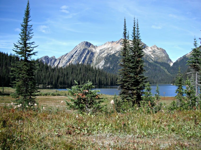
We started this hike later in the evening, using our headlamps to guide us 6 km to Spectrum Lake where we set up a tent and went to sleep for an early morning start. In the morning we ate breakfast while listening to the loons on the peaceful lake. We then packed up camp and headed onward towards Big Peters Lake where we planned to stay the night as well.

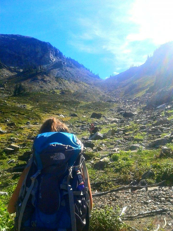
This hike is very steep after Spectrum Lake and has lots of switchbacks and minor bushwhacking that has grown into the trail. Please make sure you have proper hiking gear and apparel for this hike. We made sure to bring water tablets to refill our water supply along the way.
Once we made it to Little Peters we took a small break for a snack and continued on. When we reached Big Peters we were thrilled to drop off most of our weight and sent up the tent. Big Peters Lake is stunning as it’s surrounded by the beautiful Monashee Mountains.


Next, we headed out to summit Mount Fosthall which is the highest peak in the park. This climb is roughly 1000 metres over 5.2 km. We took the South Cariboo Pass, there are signs pointing you in the right direction, which takes about four hours to complete. This route travels through a boulder gully. Once through the gully, we had to scale our way up Mount Fosthall.
This was one of the more challenging hikes I have done; however the views you are granted are well worth the trip! We were sitting 2,697 meters in the sky with a 360 view of the Monashee's surrounding. You’ll get to take in views of Slate Mountain, Cranberry Mountain, and glaciers when looking north. Towards the east, you’ll get views of the Arrows Lakes and the Slocan Ranges.


After our photo op we headed back down to Big Peters for the evening catching the magnificent "Alpine Glow" on our descent. Due to our time crunch, we headed out the next morning.
If you’re looking for an overnight hike, this is definitely one worth checking out. There are other lakes and trails in the area that are well worth your time.
Hike difficulty: Difficult
Distance: Distances to each lake can be found on the BC Parks website
Attire needed:
Hiking shoes
Backpack with water and food
Proper overnight camping gear like a tent
Whistle/bear spray/bear bell (I always have my bear bell on my pack just as a precaution)

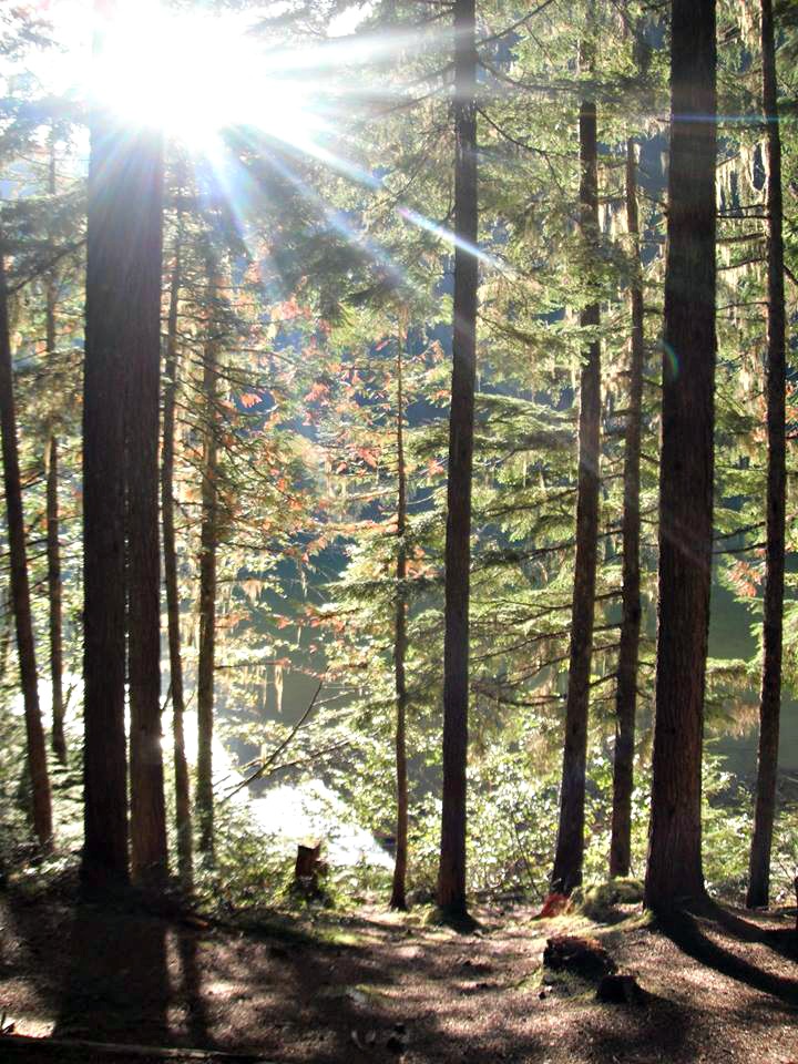
This hike lets you challenge yourself and offers a 360 view over Monashee Provincial Park. I hope you enjoy the hike and lush rainforest as much as we did!
- Carlee Kish
 Carlee Kish is a 23-year-old hiking enthusiast who has lived in Kelowna for two years now. Originally from Regina, Saskatchewan, Kish fell in love with the mountains and hiking during a family trip as a youngster. She has a passion for the wilderness and capturing it along the way with beautiful photos. Kish lives for the outdoors and you can follow her adventures as she relishes in moss during her captivating hikes and boundless adventures. Be sure to follow Carlee's adventures on Instagram @CarleeKish.


